Design smarter, secure faster. Cloud-based CCTV layout designer
Eliminate blind spots, optimise coverage, and generate instant professional designs using real-world 3D physics. Start for Free.
Built for Installers, Validated by Physics.
Stop guessing. Start designing with precision.
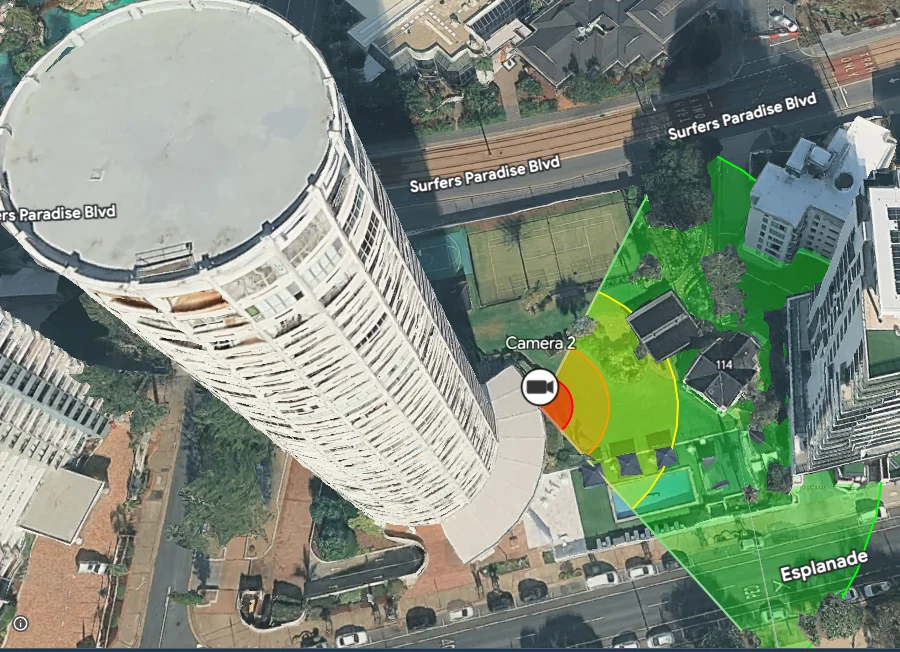
2D Plan Overlays
Upload site blueprints, scale, and calibrate directly over Google Maps satellite imagery.
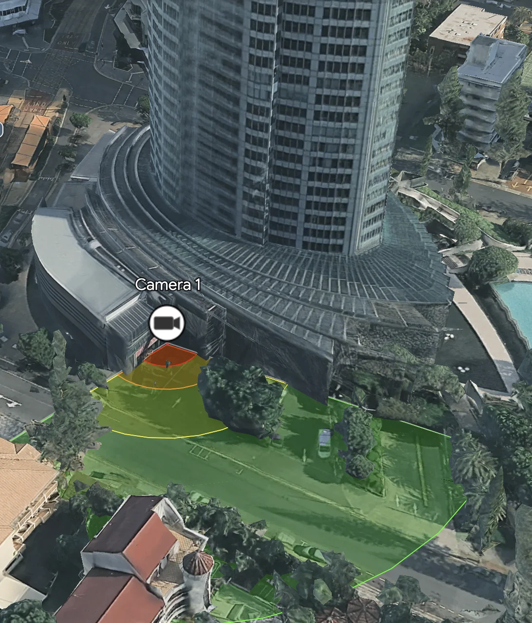
3D Environment Builder
Design directly on Google’s photorealistic 3D globe, placing cameras on roofs, poles, and structures.
Dynamic DORI Metrics
Instantly visualize Identify, Recognize, Observe, and Detect zones based on your resolution and lens selection.
IR Night-Vision Simulation
Simulate true night performance, identifying the exact boundary where the man becomes invisible beyond the IR beam.
PPM Field Calculation
Get precise Pixels-Per-Meter readouts at target distances to satisfy strict liability and compliance standards.
Commercial PDF Export
(Commercial Tier) Generate professional, branded reports with map snapshots and camera schedules.
Better Plans. Faster Installs. Happier Clients
-
Perfect Pre-Install Planning
Identify line-of-sight obstructions (trees, columns) before attending the site.
-
Bulletproof Liability Compliance
Provide customers a validated design ensuring Identify zones are met, satisfying insurance and legal requirements.
-
Faster Approvals
Generate stunning 3D visual mockups that help stakeholders approve system layouts instantly.
Ready to optimise your next design?
The Free Tier gives you limited access to the 2D and 3D map designer for 14 days. No credit card required.